The oceans absorb more than 90% of the excess heat brought on by climate change, and are responsible for approximately ⅓ of Earth’s carbon sequestering capacity. Yet in the coastal oceans where many key ocean-climate processes begin we are largely flying blind. Even well-resourced nations are data poor in their coastal waters while developing countries who are facing the brunt of climate change lag even further behind. Subsurface ocean data collected by fishing vessels is a cost-effective solution, providing the capacity for a geographic and temporal resolution unmatched by any other subsurface observation network.
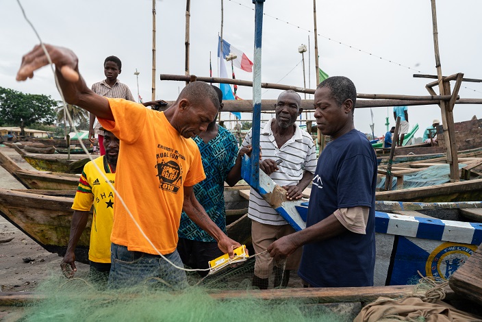
Deployment: Abanze (Ghana)
There is a huge imbalance between Northern and Southern Hemispheres in the capacity to observe the oceans. In collaboration with the University of Ghana and POGO, we are supporting a pilot network network in Ghana that provides critical subsurface observations to improve ocean modeling in a historically data sparse region. We hope the pilot will lay the foundation to establish large-scale fishing vessel based ocean observation networks in the Gulf of Guinea and beyond.
WEATHER/OCEAN FORECASTING
Ever more powerful ocean models are hungry for data. Despite covering over 70% of the Earth’s surface, the oceans are woefully under-measured, especially in the coastal zone. These same coastal zones are home to many of the world’s fishing fleets, providing a platform to increase the amount of observed met-ocean data by 10 to 100 times.
ODN translates the diversity of fishing practices and resulting data into standardized and well-documented data that can be directly used in operational models or analyses. With emerging advances in applying AI/ML techniques to ocean and weather modeling, higher density ocean data from fishing vessels provides the critical initial conditions needed to match the ever-increasing resolution and computing power of this technology, unleashing a revolution in understanding the characteristics and processes of the coastal ocean.
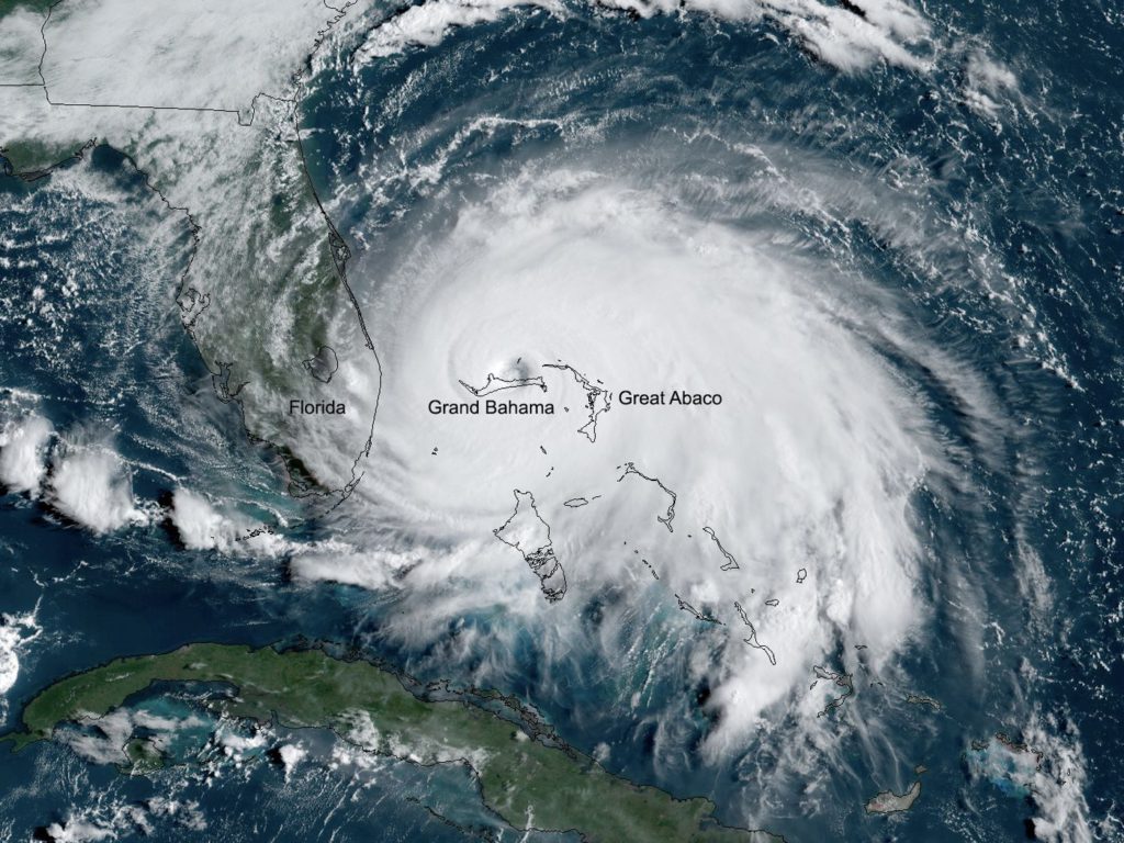
Tropical cyclones, called hurricanes in the Americas, are fueled by ocean heat down to 100 meters depth. While satellites do a great job measuring the sea surface temperatures, the uncertainty of temperatures at depth are a key roadblock for improving intensification forecasts. In collaboration with the Bahamas Dept of Meteorology and Environmental Defense Fund, ODN operates a network of fishing vessels in coastal Bahamian waters to feed this invaluable data stream into the NOAA AOML and NCEP models that predict hurricane track and intensity. Increasing the amount of near shore observations increases forecast accuracy, providing the intelligence needed to improve disaster response efforts, saving lives and mitigating economic losses. As climate change increases the frequency and intensity of tropical cyclones, fishing vessel based ocean observations will be extremely valuable in building climate resilient coastal communities.
FISHERIES
Accurate environmental data where fish are is key for the implementation of more dynamic and Ecosystem Based Fisheries Management strategies. In contrast to satellite data, oceanographic data collected on fishing gears provides insights into how environmental conditions directly in the ecosystem are impacting fisheries. Furthermore, modeled subsurface data is inaccurate precisely where it matters to fisheries science due to the lack of data used to validate and run these models. These data streams enable more selective fishing practices, better management plans, and reduced environmental impact, contributing to both the ecological and economic sustainability of fisheries.
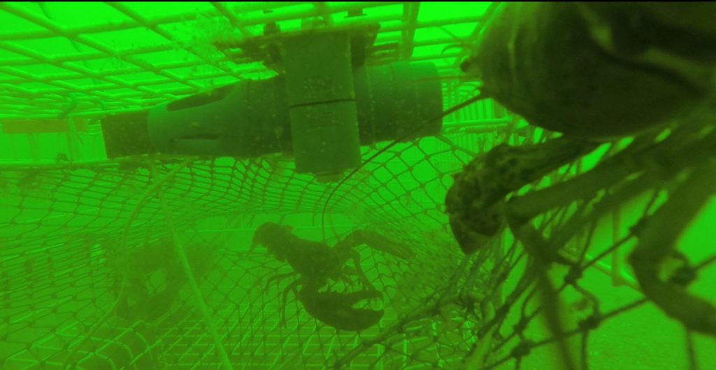
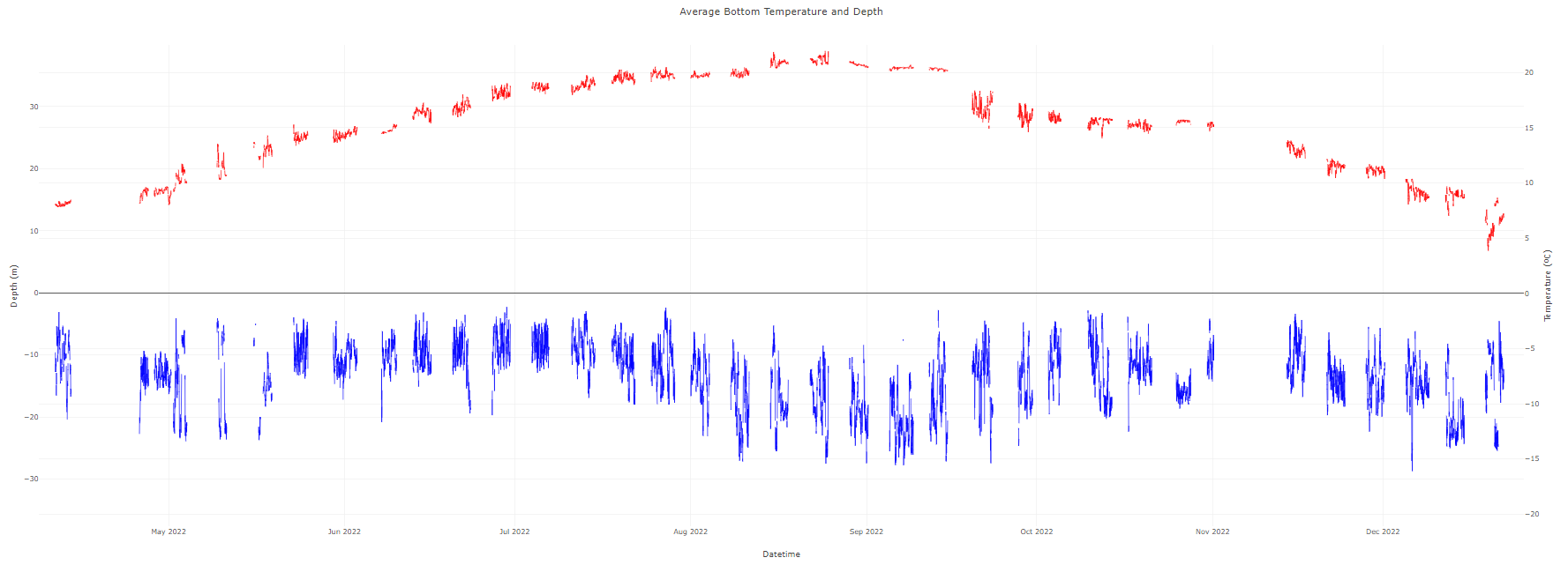
In collaboration with the eMOLT program, bottom temperatures are utilized in the American Lobster Stock Assessment. Bottom temperatures play a critical role in lobster life history traits and seasonal migration patterns. Understanding these conditions gives fisheries managers important environmental context to their stock assessments.
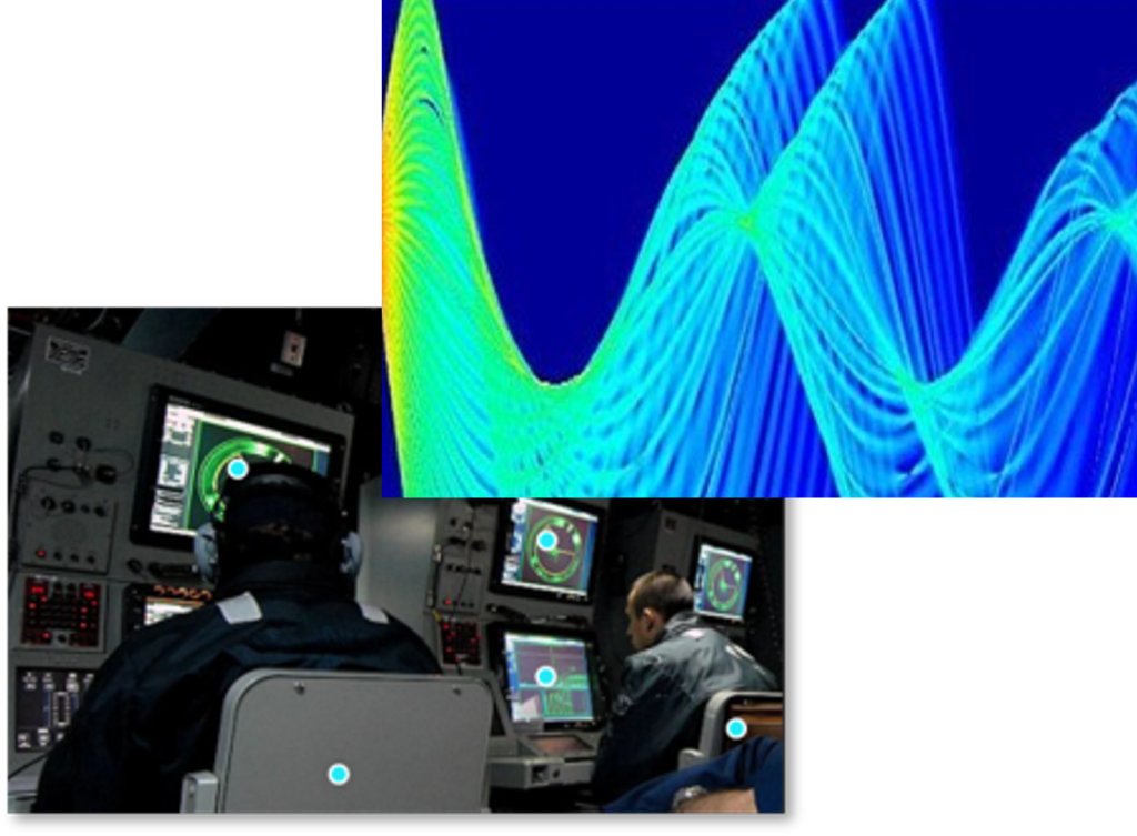
DEFENSE
Most fishing regions are ocean data deserts, and are often chokepoints of particular strategic importance. The physical oceanographic features we measure impact acoustic propagation/ranges, turbidity/optical conditions, surface and subsurface currents, and buoyancy of sub-surface vessels. Fishing vessel ocean observation provides a persistent swarm for distributed met-ocean awareness and resulting operational predictability.